
Please Choose Your Language


Spectrum detection equipment mainly consists of antenna array, RF circuit, multi-channel synchronous receiver, GNSS GPS module
The device supports amplitude phase ratio + technology analysis protocol.
UAV consumption level type recognition, situation analysis, positioning tracking, operating path and other functions. Concurrent support
Multi-station TDOA can accurately determine positioning, and can freely expand the capacity of any number of detection equipment according to the monitoring area.
Distance detection
Coverage 300MHz~6GHz, with drone detection
High sensitivity detector, intelligent recognition ability
Good environment to adapt
The utility model is suitable for complex electromagnetic and climatic environment, not affected by lightning, fog weather, night vision.
7*24 hours 360 degree omnibearing real-time monitoring can be realized.
TDU+ AOA+ agreement to dismantle complex positioning technologies
AOA+TDOA group grid positioning through single-station or multi-point network positioning to locate UAV groups, expand the early warning area, and determine the real-time precise positioning of UAVs; At the same time, the remote controls of Giiang Wang drones, covering more than 90 percent of the market, enable accurate detection and accurate acquisition of the unique serial number.
Define a comprehensive model
On the basis of deep learning non-database construction target recognition algorithm, the vast majority of can be accurately identified
Drone consumption, wifi game machine, diy machine, analog/digital
The number of brands in the model library is more than 30, models more than 300
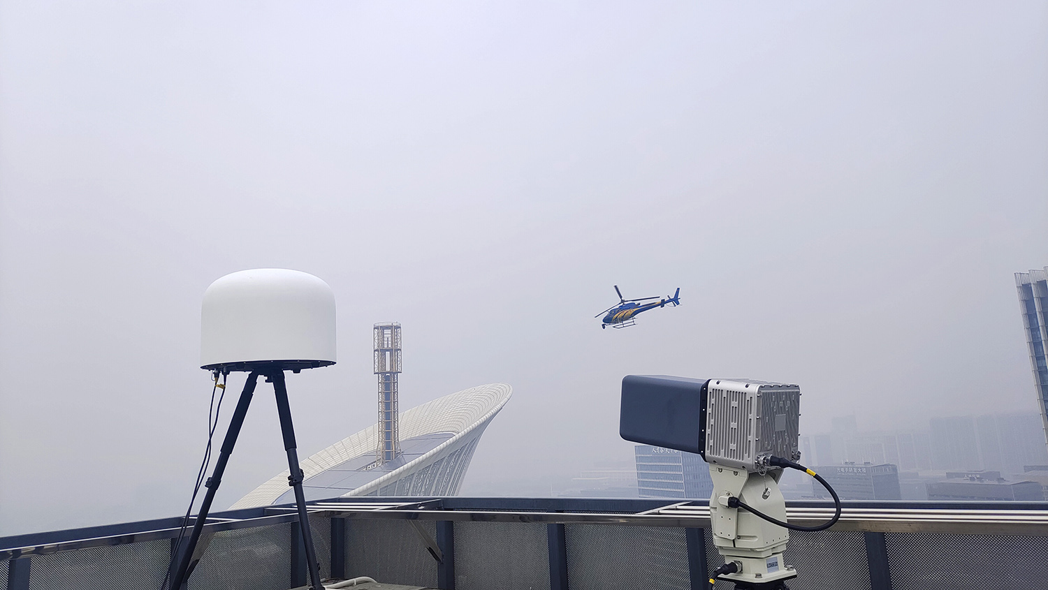
Detection of drone types: The vast majority of drone consumption, some non-traditional drones, some fixed-wing drones
Detection coverage: 300MHz ~ 6GHz
Detection distance: ≥ 5 km (open environment, drone transmitting power 0.1W)
Single station direction finding accuracy: ≤ 3° (rms)
Detection range: 360 degrees horizontal omnibearing
Detection height of more than 1000 meters (open environment, UAV transmitting power 0.1W)
Content analysis protocol: Obtain GPS coordinates, flight altitude, speed, direction, model, deactivation code and other information, and obtain remote control UAVs (pilots) accurately
The information can be reported in real time to the background display status detection.


